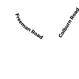
0 COLBURN RD
Owner Information
BOND RICHARD J (5/06)
23 RAMSHORN RD
CHARLTON, MA 01507


Property Details
0 COLBURN RD is classified as a Potentially Developable Residential Land.
0 COLBURN RD is valued at $94,900. The land is valued at $94,900 and the structures are valued at $0.
The most recent deed for 0 COLBURN RD is recorded at the local registrar in Book 39006, Page 277. 0 COLBURN RD was last sold on Monday, May 22, 2006 for $100.
Assessment data from fiscal year 2022.
Flood Data
According to the FEMA National Flood Hazard Layer, this property does not appear to be in a flood zone. It may also be in an area not yet reviewed. Nonetheless, confirm this information prior to taking any action.
To view the flood hazards around this property, create a FEMA "Firmette" Map of the area around 0 COLBURN RD.
Broadband Internet Providers
| Provider | Type | Bandwidth (mbps) | |
|---|---|---|---|
| GCI Communication Corp. | Satellite | 0 | 0 |
| Charter Communications Inc | Cable | 940 | 35 |
| VSAT Systems, LLC. | Satellite | 2 | 1 |
| Verizon New England Inc. | DSL | 5 | 0 |
| HughesNet | Satellite | 25 | 3 |
| Viasat Inc | Satellite | 100 | 3 |
Broadband service provider data from December 2020.
Adjacent Properties
- 0 RAMSHORN RD
Potentially Developable Residential Land owned by BOND LOWELL H JR (5/06) - 15 RAMSHORN RD
Single Family Residential owned by BOND THOMAS M TRUSTEE (5/19) - 0 RAMSHORN RD
Undevelopable Residential Land owned by BOND RICHARD - 23 RAMSHORN RD
Single Family Residential owned by BOND, RICHARD J. - 0 COLBURN RD
Vacant, Tax Title/Treasurer owned by TOWN OF CHARLTON